


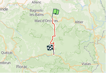


18.9 km | 28 km-effort


User


FREE GPS app for hiking
 SityTrail
IGN / Geographical institutes
SityTrail World
The world is yours!
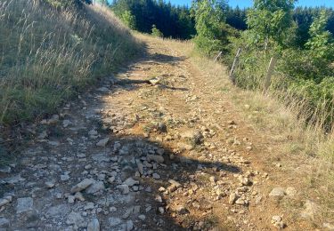
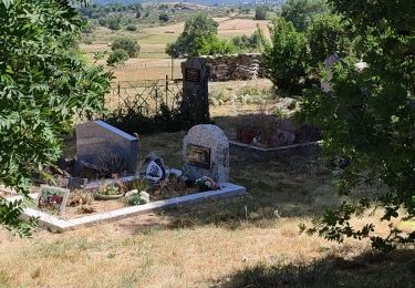
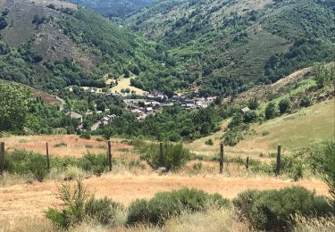
Trail Walking of 22 km to be discovered at Occitania, Lozère, Mont Lozère et Goulet. This trail is proposed by MoulinPierrick.
Stevenson


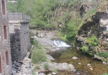
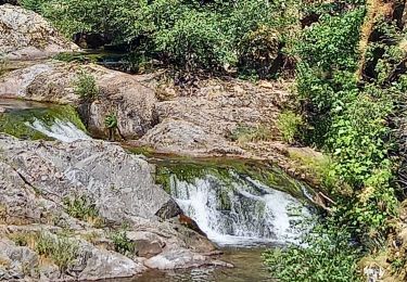
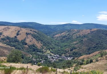
26 photos in total. Please click on a photo to see them all in the gallery.

Walking
Walking
Walking

Walking
Walking

Electric bike
Mountain bike
Walking
Walking
Super!